Backroad Canada GPS Maps
Backroad Canada GPS Maps
Quick Overview
Backroad Canada GPS Map
CANADA’S LEADING GARMIN-LICENSED GPS MAPS
Available For
- Alberta
- British Columbia
- Manitoba
- New Brunswick
- Newfoundland & Labrador
- Nova Scotia
- Ontario
- Quebec
- Saskatchewan
- Yukon
Recommended Accessories
Quick Overview
BACKROAD CANADA GPS MAPS
CANADA’S LEADING GARMIN-LICENSED GPS MAPS
Available For
- Alberta
- British Columbia
- Manitoba
- New Brunswick
- Newfoundland & Labrador
- Nova Scotia
- Ontario
- Quebec
- Saskatchewan
- Yukon
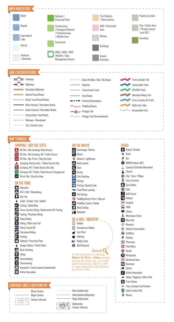
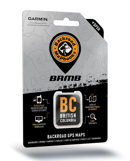
Our Backroad GPS Maps bring 25 years of backcountry mapping to life with the most detailed and comprehensive coverage of Canada available to recreational users. With the most up-to-date outdoor recreation information including topographic contours and summits, routable industry and forest service roads, campsites, trails for hikers, bikers, ATVers and snowmobilers, paddling routes, hunting and fishing hot spots, parks and wildlife viewing areas, and thousands of geographic and recreation points we’ve got adventures for every explorer. Compatible with Garmin GPS and Garmin Basecamp, these are sure to get you navigating the wilderness with confidence.
ACTIVITY POI's
Thousands of searchable points-of-interest including campsites, recreation sites, boat launches and canoe access, fish species, trailheads, scenic viewpoints, and more.
TRAILS
Thousands of clearly marked multi-use and motorized trail systems (ATV, hiking, mountain biking, horseback riding, cross-country skiing, snowshoeing, snowmobile, and more).
ANGLING EDGE
Hot spots, stocking, tips and techniques, regulations and more are found in the ‘Extras’ Fishing points. Lake Bathymetry – Now includes depth contour lines for fishing lakes, rivers and streams. Available in BC, Alberta, Saskatchewan, and Ontario.
GETTING THERE
Routable Roads - Contains routable roads, including forest service, industry and city roads, as well as highways, to make getting to your destination easy by creating point-to-point routes on compatible devices.
ON THE HUNT
Smart background and searchable Wildlife Management Units/Zones, Game/Deer Hunting Areas, etc. (depending on province) for anglers and hunters.
PADDLE ON
Paddling Routes - Clearly marked canoe and kayak routes including portage distances, access points and more.
CROWN & PRIVATE LAND
Identified in BC, Ontario, Nova Scotia, New Brunswick and Quebec.
ALL-TERRAIN
Thousands of kilometres of ATV and snowmobile trails including trailheads, length, difficulty, and more. Low priority as well.
TOWNSHIP & RANGE SELECTION
Available in Alberta, Manitoba and Saskatchewan.
PARK ACCESS
National, provincial and urban parks, picnic areas, huts and cabins, campsites, and more.
RESOURCE DETAILS
From BC to Manitoba we provide resource information like no other. Oil & Gas facility points, LSD Grids, Townships, cutlines, pipelines and more.
MISCELLANEOUS
Thousands of searchable points-of-interest including campsites, recreation sites, boat launches and canoe access, fish species, trailheads, scenic viewpoints, and more.
UNPARALLELED DETAILS
Shaded relief - Detailed topography highlighting the area’s terrain using industry leading contour lines and relief shading.
ADDRESS SEARCH
Available in Alberta, Manitoba, Ontario, New Brunswick, Nova Scotia, PEI, Newfoundland & Labrador, Québec, and Yukon.
COMPATIBILITY
GARMIN GPS and GARMIN Basecamp compatible.
3D VIEW
3D terrain shading on compatible devices and in Basecamp.
CO-OPERATION
Updated regularly and developed in cooperation with local agencies (government, parks, fisheries, forestry and tourism organizations, local municipalities, non-profit outdoor groups and clubs, consumers, and more) to ensure accuracy.
SCALE
10,000, 20,000 or 50,000 base scale maps (depending on the province/area).

| SKU | BR_Canada GPS Maps |
|---|


